-
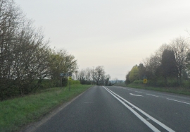
A518 near Grindley
-
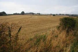
Wheat fields near Grindley
A518 near Grindley
Wheat fields near Grindley
Location and coordinates are for the approximate centre of Hand Leasow Wood within this administrative area. Geographic features and populated places may cross administrative borders.