-
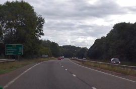
A30, 154 miles to London
-
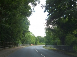
Road bridge over River Otter
A30, 154 miles to London
Road bridge over River Otter
Location and coordinates are for the approximate centre of Ham Copse within this administrative area. Geographic features and populated places may cross administrative borders.