-
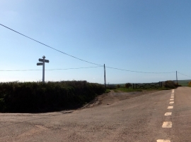
Track to Winsham Cross
-
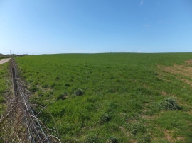
Halsinger Down
Track to Winsham Cross
Halsinger Down
Location and coordinates are for the approximate centre of Halsinger within this administrative area. Geographic features and populated places may cross administrative borders.