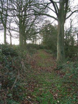
Hall Wood, Suffolk

« Gazetteer Entry
Upload Photo

Hall Wood, Suffolk

  • Parish/Community: Edwardstone
  • District/Borough: Babergh
  • County: Suffolk
  • Region: Eastern
  • Category: Landcover
  • Type: Forest or Wood
  • Latitude/Longitude: 52°3'52"N 0°50'9"E
  • Eastings/Northings: 594500, 244500
  • OS Grid: TL945445
  • Mapcode Local: GBR RJM.G67
  • Mapcode Global: VHKF5.FCVJ

Location and coordinates are for the approximate centre of Hall Wood within this administrative area. Geographic features and populated places may cross administrative borders.

BritishPlaceNames.uk is a Good Stuff website.