-

Houses on Delamere Way, Hall Green, Upholland
-
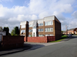
Houses on Dearden Way, Hall Green, Upholland
Houses on Delamere Way, Hall Green, Upholland
Houses on Dearden Way, Hall Green, Upholland
Other current and historical names
Location and coordinates are for the approximate centre of Hall Green within this administrative area. Geographic features and populated places may cross administrative borders.