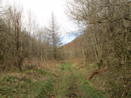
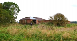
Gundale Wood, North Yorkshire

« Gazetteer Entry
Upload Photo

Gundale Wood, North Yorkshire

  • Parish/Community: Pickering
  • District/Borough: Ryedale
  • County: North Yorkshire
  • Region: Yorkshire and the Humber
  • Category: Landcover
  • Type: Forest or Wood
  • Latitude/Longitude: 54°16'44"N 0°46'18"W
  • Eastings/Northings: 480069, 487739
  • OS Grid: SE800877
  • Mapcode Local: GBR RL1Y.QV
  • Mapcode Global: WHF9Q.3QR0

Location and coordinates are for the approximate centre of Gundale Wood within this administrative area. Geographic features and populated places may cross administrative borders.

BritishPlaceNames.uk is a Good Stuff website.