-

Minsterley station
-
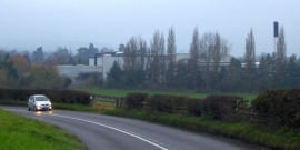
Minsterley dairy seen from the A488 on the east
Minsterley station
Minsterley dairy seen from the A488 on the east
Other current and historical names
Location and coordinates are for the approximate centre of The Grove within this administrative area. Geographic features and populated places may cross administrative borders.