-

Llwybr Llety Newydd Path
-
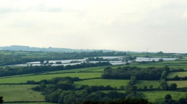
Solar array at Clawdd-du farm
Llwybr Llety Newydd Path
Solar array at Clawdd-du farm
Location and coordinates are for the approximate centre of Greynor within this administrative area. Geographic features and populated places may cross administrative borders.