-
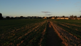
On Jurassic Way - heading towards Gretton at sunset
-
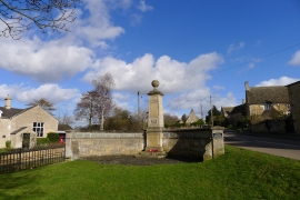
The War Memorial, Gretton
On Jurassic Way - heading towards Gretton at sunset
The War Memorial, Gretton
Other current and historical names
Location and coordinates are for the approximate centre of Gretton within this administrative area. Geographic features and populated places may cross administrative borders.