-
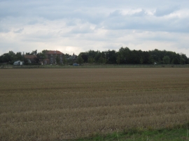
Over field to Copmanthorpe Grange
-

Moor Lane south of Copmanthorpe
Over field to Copmanthorpe Grange
Moor Lane south of Copmanthorpe
Location and coordinates are for the approximate centre of Greenland Wood within this administrative area. Geographic features and populated places may cross administrative borders.