-
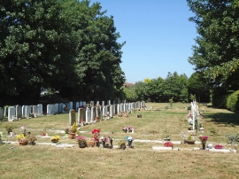
Cemetery, St Nicholas Church, Great Wakering
-
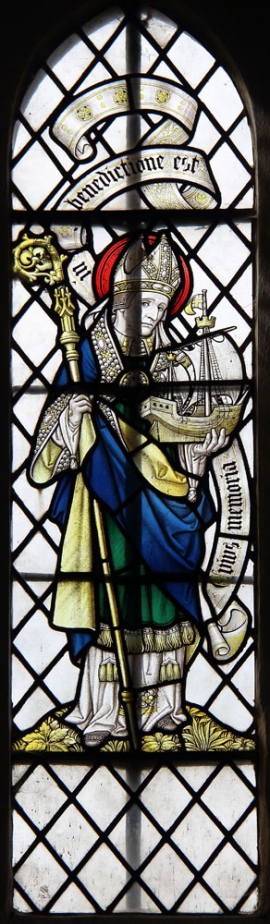
St Nicholas, Great Wakering - Stained glass window
Cemetery, St Nicholas Church, Great Wakering
St Nicholas, Great Wakering - Stained glass window
Location and coordinates are for the approximate centre of Great Wakering Common within this administrative area. Geographic features and populated places may cross administrative borders.