-
Bridleway near the Welldiggers Arms
-

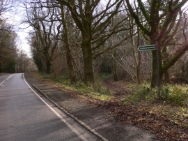
The Petworth-Fittleworth road, east of The Welldiggers
Bridleway near the Welldiggers Arms
The Petworth-Fittleworth road, east of The Welldiggers
Location and coordinates are for the approximate centre of Great Riverhill Copse within this administrative area. Geographic features and populated places may cross administrative borders.