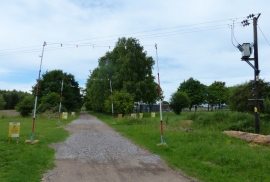
Great Plantation, Norfolk

« Gazetteer Entry
Upload Photo

Great Plantation, Norfolk

  • Built-Up Area: East Harling
  • Parish/Community: Roudham and Larling
  • District/Borough: Breckland
  • County: Norfolk
  • Region: Eastern
  • Category: Landcover
  • Type: Forest or Wood
  • Latitude/Longitude: 52°27'36"N 0°50'48"E
  • Eastings/Northings: 593500, 288500
  • OS Grid: TL935885
  • Mapcode Local: GBR RCS.QW7
  • Mapcode Global: VHKC7.MFHD

Location and coordinates are for the approximate centre of Great Plantation within this administrative area. Geographic features and populated places may cross administrative borders.

BritishPlaceNames.uk is a Good Stuff website.