-

The Horse and Groom, Rushlake Green
-
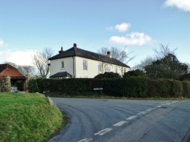
Large house, Rushlake Green, East Sussex
The Horse and Groom, Rushlake Green
Large house, Rushlake Green, East Sussex
Location and coordinates are for the approximate centre of Great Iwood within this administrative area. Geographic features and populated places may cross administrative borders.