-
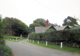
Private driveway to Mothecombe
-
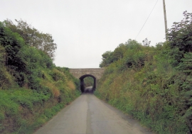
Bridge carries private track to Mothecombe
Private driveway to Mothecombe
Bridge carries private track to Mothecombe
Location and coordinates are for the approximate centre of Great Hatchnail Plantation within this administrative area. Geographic features and populated places may cross administrative borders.