-
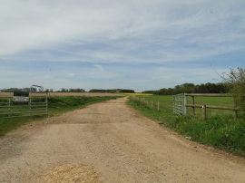
South Pickenham Estate with security dogs on patrol
-
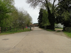
Entrance to Valley Farm, South Pickenham
South Pickenham Estate with security dogs on patrol
Entrance to Valley Farm, South Pickenham
Location and coordinates are for the approximate centre of Great Cressingham Wood within this administrative area. Geographic features and populated places may cross administrative borders.