-

The Kent Estuary across the rooftops of Grange-Over-Sands
-
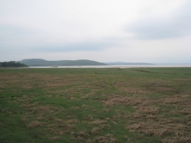
View across the salt marsh
The Kent Estuary across the rooftops of Grange-Over-Sands
View across the salt marsh
Location and coordinates are for the approximate centre of Great Crag within this administrative area. Geographic features and populated places may cross administrative borders.