-

Greasbrough Post Office
-
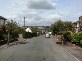
Munsbrough Lane in Greasbrough
Greasbrough Post Office
Munsbrough Lane in Greasbrough
Other current and historical names
Location and coordinates are for the approximate centre of Greasbrough within this administrative area. Geographic features and populated places may cross administrative borders.