-

The upper Nant Iago
-
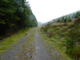
Forest track high in Cwm Iago
The upper Nant Iago
Forest track high in Cwm Iago
Location and coordinates are for the approximate centre of Graig Goch within this administrative area. Geographic features and populated places may cross administrative borders.