-
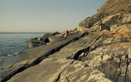
Coastal Rock below Mynydd y Graig
-
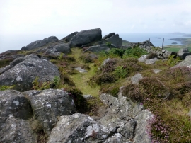
Bryn Tirion
Coastal Rock below Mynydd y Graig
Bryn Tirion
Location and coordinates are for the approximate centre of Graig Ddu within this administrative area. Geographic features and populated places may cross administrative borders.