-
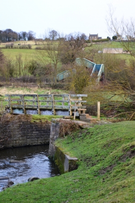
Two bridges west of Higham
-
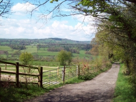
The Amber Valley viewed from Ogston Lane
Two bridges west of Higham
The Amber Valley viewed from Ogston Lane
Location and coordinates are for the approximate centre of Goyt Plantation within this administrative area. Geographic features and populated places may cross administrative borders.