-
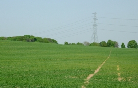
Crop field near Prestwood, Staffordshire
-
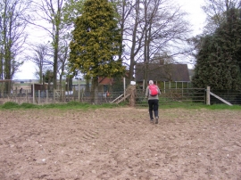
Field Path End
Crop field near Prestwood, Staffordshire
Field Path End
Location and coordinates are for the approximate centre of Gothersley Rough within this administrative area. Geographic features and populated places may cross administrative borders.