-
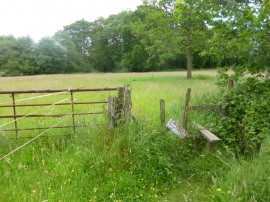
God's Blessing Green, stile
-
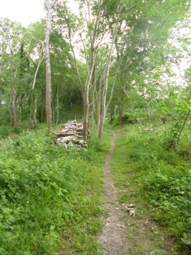
God's Blessing Green, footpath
God's Blessing Green, stile
God's Blessing Green, footpath
Location and coordinates are for the approximate centre of God's Blessing Green within this administrative area. Geographic features and populated places may cross administrative borders.