-

Bridge over Afon Dulais
-
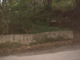
Entrance through trees to Glandulais
Bridge over Afon Dulais
Entrance through trees to Glandulais
Location and coordinates are for the approximate centre of Gobedig Wood within this administrative area. Geographic features and populated places may cross administrative borders.