-
OS Bolt,
-
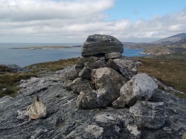
Blasted rock
OS Bolt,
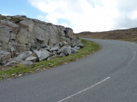
Blasted rock
Location and coordinates are for the approximate centre of Gob Àird an Tolmachain within this administrative area. Geographic features and populated places may cross administrative borders.