-
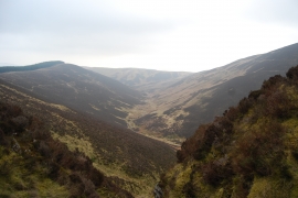
Looking down the Glengap Burn from the top of Priestgill
-
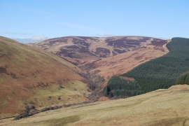
Glengap Burn, Wamphray in early March sun
Looking down the Glengap Burn from the top of Priestgill
Glengap Burn, Wamphray in early March sun
Location and coordinates are for the approximate centre of Glengap Burn within this administrative area. Geographic features and populated places may cross administrative borders.