-
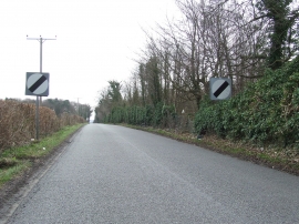
End Of Speed Limit
-
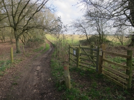
Byway from Elveden Road
End Of Speed Limit
Byway from Elveden Road
Location and coordinates are for the approximate centre of Glebe Wood within this administrative area. Geographic features and populated places may cross administrative borders.