-
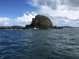
Castle Bryher rock
-
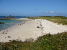
Beach at Stony Porth, Bryher
Castle Bryher rock
Beach at Stony Porth, Bryher
Location and coordinates are for the approximate centre of Gerwick Ledges within this administrative area. Geographic features and populated places may cross administrative borders.