-
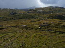
Lazy beds below Cnoc Righseodh, Great Bernera/Be
-
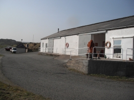
Craft workshop in Kirkibost
Lazy beds below Cnoc Righseodh, Great Bernera/Be
Craft workshop in Kirkibost
Location and coordinates are for the approximate centre of Geodha Lamaragolag within this administrative area. Geographic features and populated places may cross administrative borders.