-
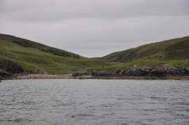
Port Bun a' Ghlinne
-
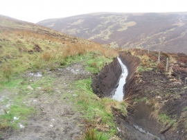
Gleann Tholastaidh
Port Bun a' Ghlinne
Gleann Tholastaidh
Location and coordinates are for the approximate centre of Geodha Gorm Bun a' Ghlinne within this administrative area. Geographic features and populated places may cross administrative borders.