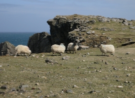
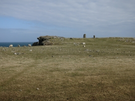
Geodha Brat, Na h-Eileanan Siar

« Gazetteer Entry
Upload Photo

Geodha Brat, Na h-Eileanan Siar

  • Unitary Authority: Na h-Eileanan Siar
  • Region: Scotland
  • Category: Geographic Feature
  • Type: Other Coastal Landform
  • Latitude/Longitude: 58°28'29"N 6°11'45"W
  • Eastings/Northings: 155464, 961714
  • OS Grid: NB554617
  • Mapcode Local: GBR C62B.BRK
  • Mapcode Global: WGY1W.S7QX

Location and coordinates are for the approximate centre of Geodha Brat within this administrative area. Geographic features and populated places may cross administrative borders.

BritishPlaceNames.uk is a Good Stuff website.