-

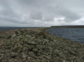
The Coorsa, Stronsay, Orkney
-
Cobbie Row's Lade, Stronsay, Orkney
The Coorsa, Stronsay, Orkney
Cobbie Row's Lade, Stronsay, Orkney
Location and coordinates are for the approximate centre of Geo of the Coorsa within this administrative area. Geographic features and populated places may cross administrative borders.