-

Grass field with plenty of buttercups
-
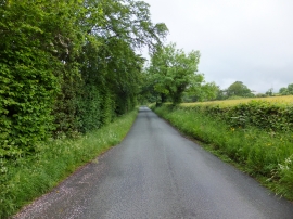
Cae Adar Lane
Grass field with plenty of buttercups
Cae Adar Lane
Location and coordinates are for the approximate centre of Gegin within this administrative area. Geographic features and populated places may cross administrative borders.