-
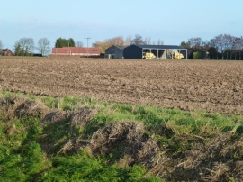
Farmland south of Gedney Dyke
-
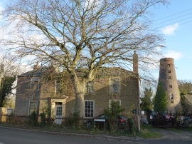
House and mill tower in Gedney Dyke, Lincolnshire
Farmland south of Gedney Dyke
House and mill tower in Gedney Dyke, Lincolnshire
Location and coordinates are for the approximate centre of Gedney Dyke within this administrative area. Geographic features and populated places may cross administrative borders.