-
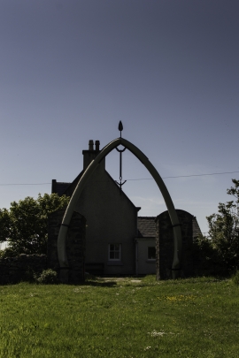
Arch from a time long gone
-
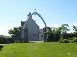
Whalebone arch at Bragar
Arch from a time long gone
Whalebone arch at Bragar
Location and coordinates are for the approximate centre of Gearraidh Mhic Lobhair within this administrative area. Geographic features and populated places may cross administrative borders.