-
Crossways Lane, Reigate Hill
-

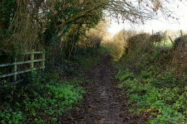
Bridleway at Reigate Hill
Crossways Lane, Reigate Hill
Bridleway at Reigate Hill
Location and coordinates are for the approximate centre of Gatton Field Shaw within this administrative area. Geographic features and populated places may cross administrative borders.