-
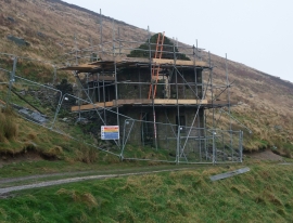
Mine building, Red Scar Lead Mine
-
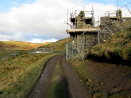
Ruined Mine Building above Gate Up Gill
Mine building, Red Scar Lead Mine
Ruined Mine Building above Gate Up Gill
Location and coordinates are for the approximate centre of Gate Up Gill within this administrative area. Geographic features and populated places may cross administrative borders.