-
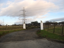
Entrance to Longlea
-
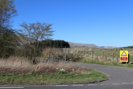
Gated road opposite Rosehead Cottages
Entrance to Longlea
Gated road opposite Rosehead Cottages
Location and coordinates are for the approximate centre of Garments Wood within this administrative area. Geographic features and populated places may cross administrative borders.