-
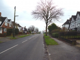
Burgh Heath: Merland Rise
-
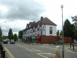
Shops, Tattenham Crescent
Burgh Heath: Merland Rise
Shops, Tattenham Crescent
Location and coordinates are for the approximate centre of Garlichill Larches within this administrative area. Geographic features and populated places may cross administrative borders.