-

Woodland, Shore Road
-
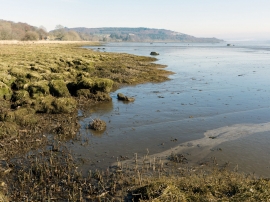
Beauly Firth near Spital Shore
Woodland, Shore Road
Beauly Firth near Spital Shore
Location and coordinates are for the approximate centre of Garguston Shore within this administrative area. Geographic features and populated places may cross administrative borders.