-
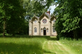
The Gothick Museum, Enville Hall
-
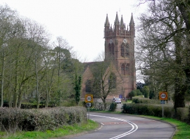
Bridgnorth Road and Enville Church, Staffordshire
The Gothick Museum, Enville Hall
Bridgnorth Road and Enville Church, Staffordshire
Location and coordinates are for the approximate centre of Garden Covert within this administrative area. Geographic features and populated places may cross administrative borders.