-
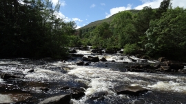
Falls of Dochart, Killin
-
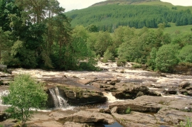
Killin: The Falls of Dochart
Falls of Dochart, Killin
Killin: The Falls of Dochart
Location and coordinates are for the approximate centre of Garbh-Innis within this administrative area. Geographic features and populated places may cross administrative borders.