-
Ancient stones
-
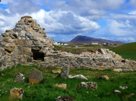
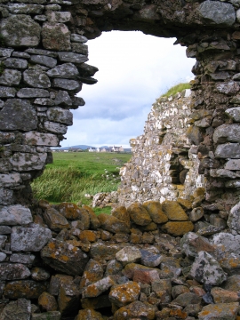
The ruins of Trinity Temple (Teampull na Trianaid)
Ancient stones
The ruins of Trinity Temple (Teampull na Trianaid)
Location and coordinates are for the approximate centre of Garbh-eilean Beag within this administrative area. Geographic features and populated places may cross administrative borders.