-
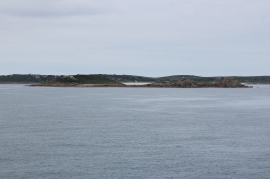
Great Gannick & Gannick Brow
-
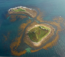
Great and Little Ganinick
Great Gannick & Gannick Brow
Great and Little Ganinick
Location and coordinates are for the approximate centre of Ganinick Brow within this administrative area. Geographic features and populated places may cross administrative borders.