-
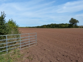
Ploughed field near Long Whatton Brook
-
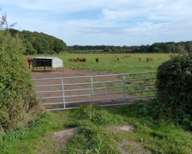
Gate leading onto farmland
Ploughed field near Long Whatton Brook
Gate leading onto farmland
Location and coordinates are for the approximate centre of Gallow's Wood within this administrative area. Geographic features and populated places may cross administrative borders.