-
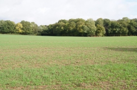
View towards Dean's Plantation
-
Maize by Watchbury Copse
View towards Dean's Plantation
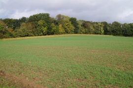
Maize by Watchbury Copse
Location and coordinates are for the approximate centre of Galldrops Copse within this administrative area. Geographic features and populated places may cross administrative borders.