-
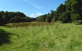
View along a clearing
-
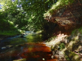
The Gallangad Burn
View along a clearing
The Gallangad Burn
Location and coordinates are for the approximate centre of Gallangad Burn within this administrative area. Geographic features and populated places may cross administrative borders.