-
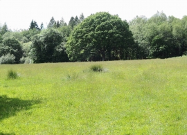
Cornwood: on Heathfield Down
-
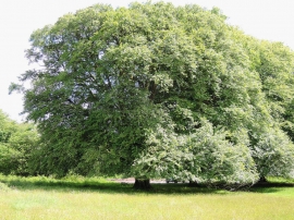
Cornwood: Oak on Heathfield Down
Cornwood: on Heathfield Down
Cornwood: Oak on Heathfield Down
Location and coordinates are for the approximate centre of Furzyland Wood within this administrative area. Geographic features and populated places may cross administrative borders.