-
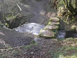
Stepping stones at North Furzehill
-
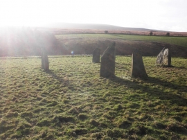
Modern stone circle, Furzehill
Stepping stones at North Furzehill
Modern stone circle, Furzehill
Location and coordinates are for the approximate centre of Furzehill within this administrative area. Geographic features and populated places may cross administrative borders.