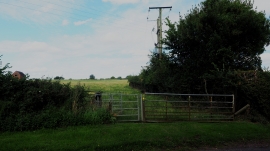
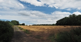
Furnace End, Warwickshire

« Gazetteer Entry
Upload Photo

Furnace End, Warwickshire

  • Parish/Community: Over Whitacre
  • District/Borough: North Warwickshire
  • County: Warwickshire
  • Region: West Midlands
  • Category: Populated Place
  • Type: Village
  • Latitude/Longitude: 52°31'10"N 1°38'4"W
  • Eastings/Northings: 424898, 291354
  • OS Grid: SP248913
  • Mapcode Local: GBR 5JC.1KP
  • Mapcode Global: VHBW9.MX8X

Location and coordinates are for the approximate centre of Furnace End within this administrative area. Geographic features and populated places may cross administrative borders.

BritishPlaceNames.uk is a Good Stuff website.